Hadrians Wall Map
Version 1.5 💾 9 Mb
📅 Updated November 19

Features Hadrians Wall Map
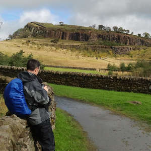
For people walking the Hadrians Wall Path, this app provides a mapping for the full path in 2 mile sections.
When launched the app will interrogate the mobile devices location manager and display the section is closest to the users current location.
The app does not require network access, so coverage in the remote areas, or data roaming costs do not affect the app.The first screen provides information on how to use the map and a map key for the features that are not standard OS symbols.
Simply tap this screen to view the map closest to the users current location.
From here swipe gestures can be used to navigate East and West along the path.The sections in the app correspond directly to the sections shown on the Hadrians Wall Page on www.hikeview.co.uk, allowing the user to plan their hike on the web-page and then use map sections that are identical to those used in the planning process.
A new feature has now been added that links each map section to a web based version of the same map section.
A long press on any map section will open the web based version of the same section with a marker indicating the users location.
The web based version of the map can pan and zoom.
Access to this feature does require that the user have data access on their mobile device.There are 43 maps in total, each 2 miles long, with the exception of the East-most section between Wallsend and St.
Anthonys which is 1.25 miles.Features indicated include field boundaries, tracks, steps and point altitude measurements; useful towards the end of a long days walking: "Only 3 fields, one set of steps and a half mile track to go!"
Social Features
Connect and share with friends and the community.
Gaming Features
Enjoy immersive gaming experience with various game modes.
Food & Dining
Discover recipes and order food from your favorite restaurants.
See the Hadrians Wall Map in Action


Get the App Today
Available for Android 8.0 and above